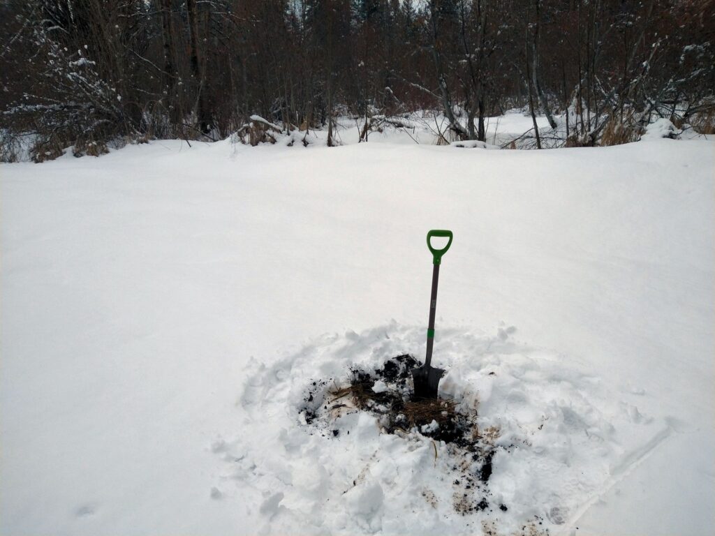
Fieldwork during winter is typically slow for two reasons. The first, obvious, reason is that snow on the ground makes it difficult. Second, it is not the recommended window of opportunity for a wetland delineation. I explain why in detail over on the FAQ page.
That said, sometimes enough data can be garnered to develop a wetland and stream critical areas risk profile for a property in question. A site reconnaissance this week was a perfect example.
A Client near Cle Elum was hot to buy a parcel advertised at a very good price. He wanted to build his dream house on it. Problem is, the county maps a rather large wetland in the nearby vicinity. This Client was smart. He made his offer contingent upon a risk assessment to be first made by a wetland professional.
He gives me a call. I check it out. All available data, both online and in the field, show a high risk of wetland critical areas getting in the way of his plans. Since this form of investigation is predicated upon digital data, limited field data, and a dose of best professional judgment, the Client’s love affair with the property can make a “thumb’s down” risk assessment difficult to digest.
However, this particular Client read the tea leaves and decided to spend his $150,000 elsewhere. I wish more people would approach property purchases like this Client did. Too often, they snap up properties without due diligence in place – and get wrapped around the axle later.
I feel sorry for these folks. That’s why I offer free critical areas training to local realtors so that they can better advise their clients. Realtors who have completed this training are listed under Realtors with Critical Areas Training over on the Resources Page. I recommend you start with one of them.

