I am glad to see regulators, in this case, the feds, clarify what has always been the case – but poorly communicated to the public.
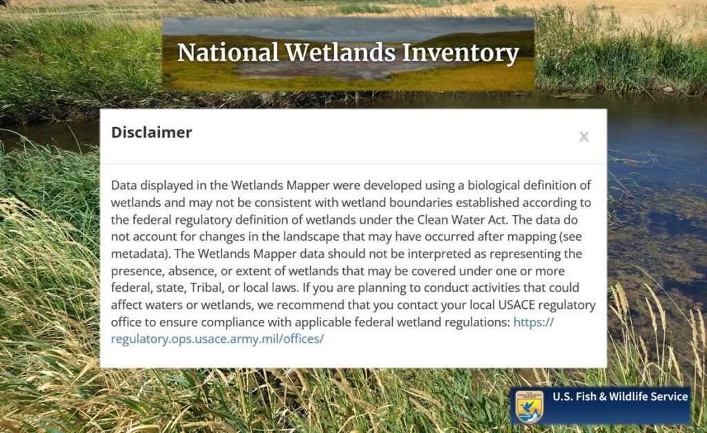
The United States Fish and Wildlife Service (USFWS) has recently added a pop-up disclaimer for wetland location data offered through its National Wetlands Inventory (NWI) mapper.
The disclaimer explains that wetland locations made available through the NWI are to be referenced only as a trigger for further investigation – not as definitive proof that wetlands are present.
Throughout my freelance career, I have had to constantly explain this to clients who read the NWI maps as definitive. To try and address this misconception, I cover the topic on my FAQ page under “Why does the county map show a wetland on my property?”
The NWI is the de facto primary reference to determine wetland risk. In that regard, it provides some utility.
However, it is my hope that local jurisdictions attach a similar disclaimer to their critical areas mapping products (e.g., Kittitas County COMPAS).
I think everyone would appreciate that; not only citizens, but also regulators themselves….and, me.