wetlands

Federal Wetland Disclaimer

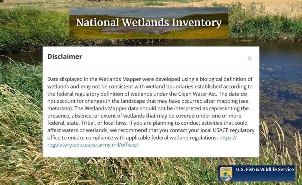
I am glad to see regulators, in this case, the feds, clarify what has always been the case – but poorly communicated to the public. The United States Fish and Wildlife Service (USFWS) has recently added a pop-up disclaimer for wetland location data offered through its National Wetlands Inventory (NWI) mapper. The disclaimer explains that wetland locations […]

Federal Wetland Disclaimer Read More »

PWS Certification Renewed!

Professional certification as a Professional Wetland Scientist (PWS) is issued by the Society of Wetland Scientists (SWS). Certification signifies that the academic foundation and work experience of a PWS meets the standards expected by the peers of a practicing wetland professional and provides acknowledgment of adherence to standards of professional ethics with regard to the

PWS Certification Renewed! Read More »

Wetland Buffer Demarcation

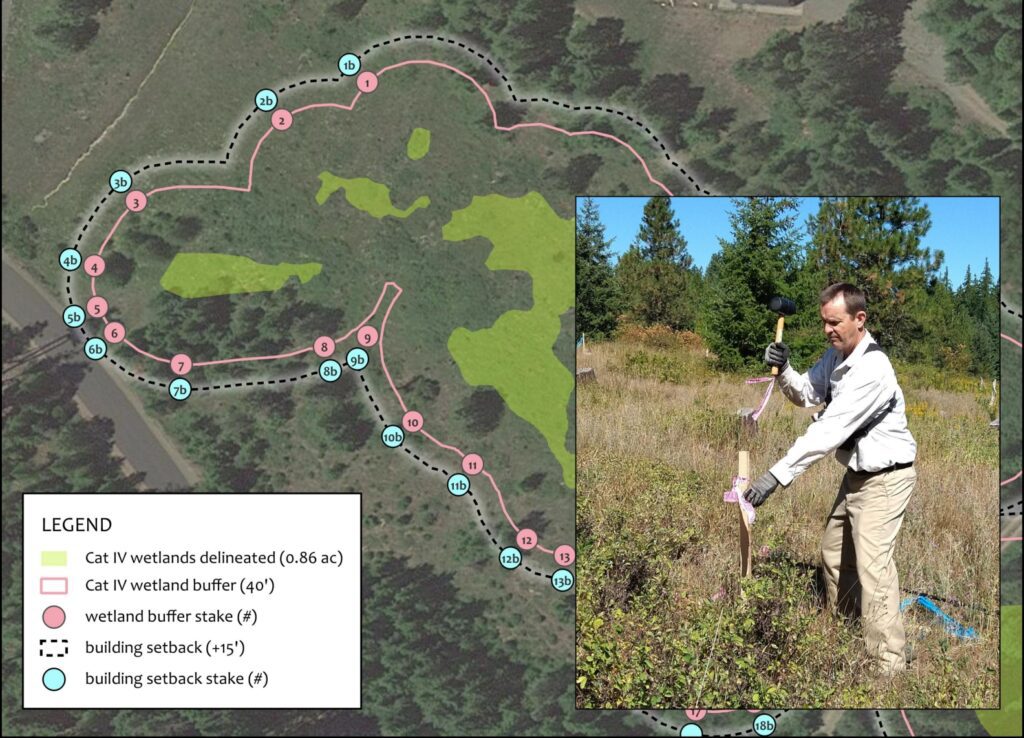
Once the boundary of a wetland is delineated, the wetland’s “value” must be quantified per a Department of Ecology rating form.  A wetland can be rated from Category I (highest value) to Category IV (lowest value). City and county ordinances identify how far away a project should remain from a wetland, per its Ecology rating. 

Wetland Buffer Demarcation Read More »

Groundwater Rising!

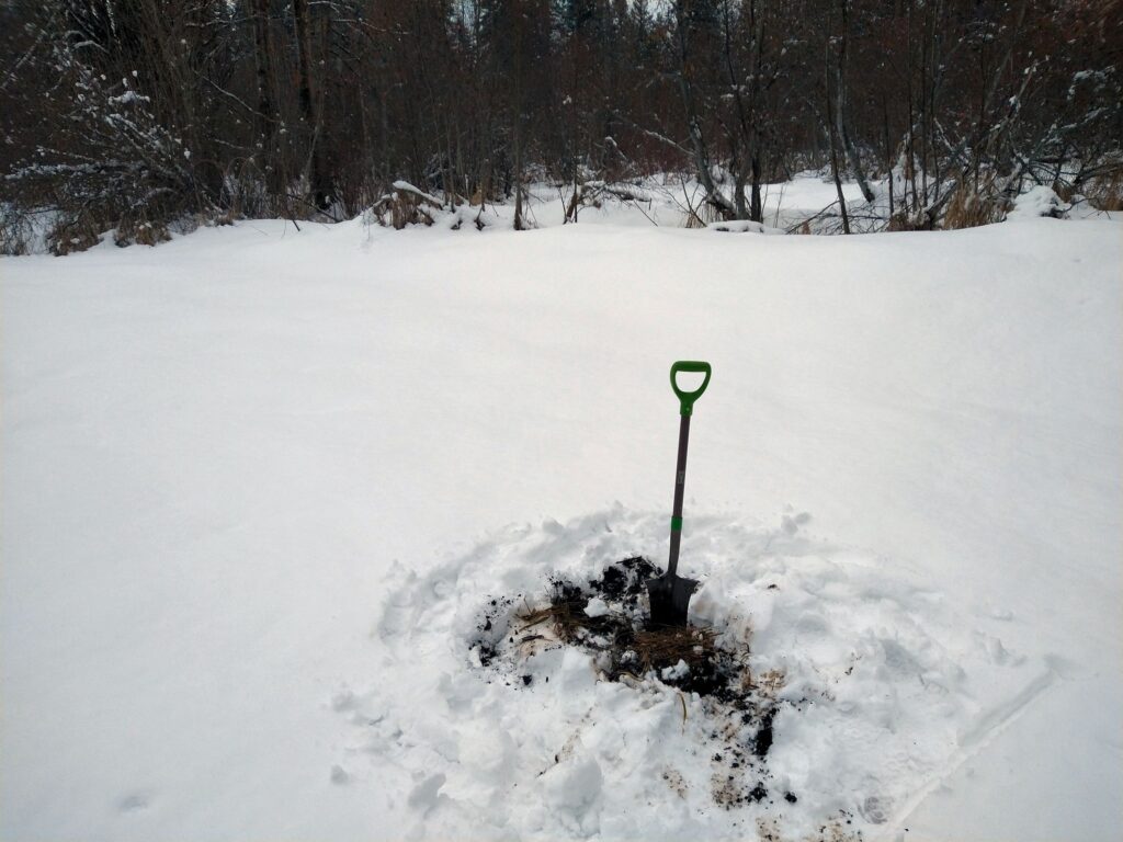
As expected, groundwater is now rising in the Kittitas Valley due to the advent of irrigation and spring runoff. It is amazing how high it rises.  From dry pit to almost full in a short period (I typically monitor groundwater pits every 14 days). The reason for monitoring?  The wetland indicator is fulfilled by the

Groundwater Rising! Read More »