It’s still a relatively cold spring, but at least the snow is gone. The irrigation districts start to open the spigots in April and canals and ditches are flowing.
Groundwater hydrology in the Ellensburg Valley is quite curious. Sans irrigation, groundwater would be influenced by natural climatic dynamics such as springtime snowmelt, river freshets, and precipitation. However, with the advent of agricultural irrigation (largely flood irrigation), an incredible amount of extra water infiltrates during the summer which raises the groundwater table in many areas.
Many local folks to whom I start to explain this roll their eyes to heaven and nod their head in affirmation. They’ve seen it.
So, what’s the big deal? Glad you asked. State and local regulations may regulate irrigated wet areas (“irrigated wetlands”) if the source of hydrology cannot be traced exclusively to irrigation practices. Basically, Ecology may exert regulatory jurisdiction over any unintentionally-created wet area e.g., a wet area formed downslope of a leaking canal.
It’s a complex subject, too much for this post, but but Ecology discusses this issue on its web site and makes available a document titled “Focus on Irrigation-influenced Wetlands (July 2010).
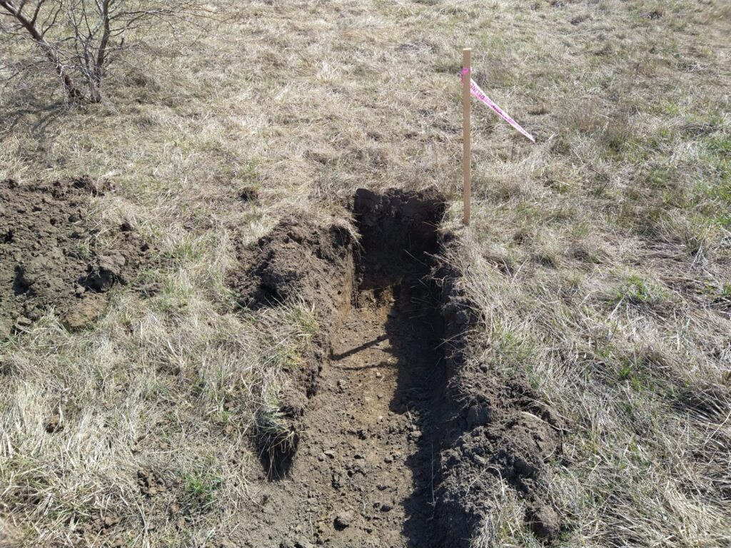
I have three clients at the moment with projects held up by irrigation-influenced potential wetlands. The only way to determine if irrigation is the exclusive source of hydrology is to stop irrigating, dig pits, and observe the pits throughout the growing season (~April to October). This way, it can be determined if groundwater and/or saturation is observed within 12 inches of the soil surface for a minimum of 14 consecutive days. This would trigger the wetland hydrology indicator.
It’s inconvenient. Clients don’t like it. But, in some instances it is the only path forward.